Show the map
OFFICIAL ROUTE
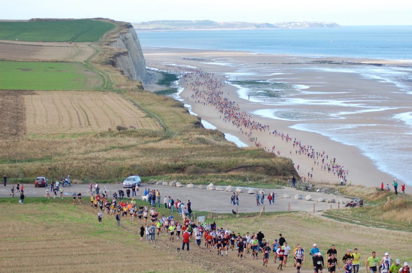
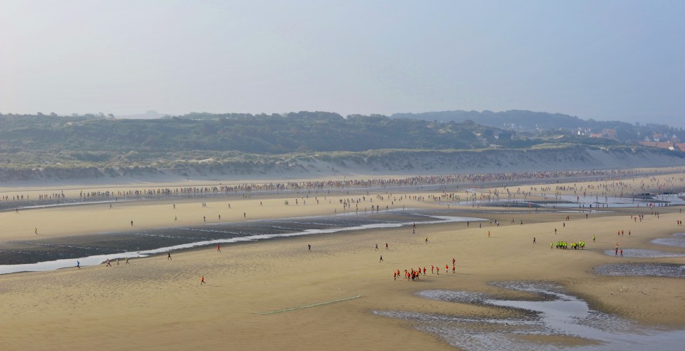
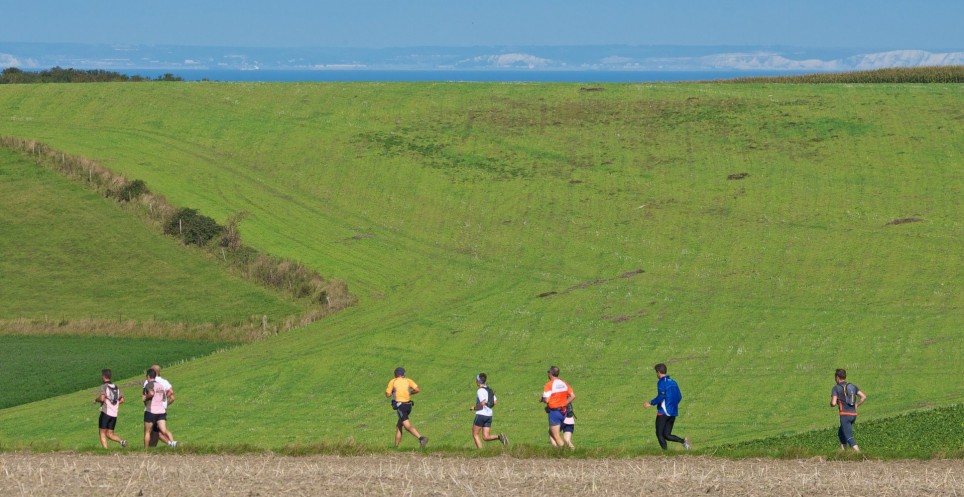
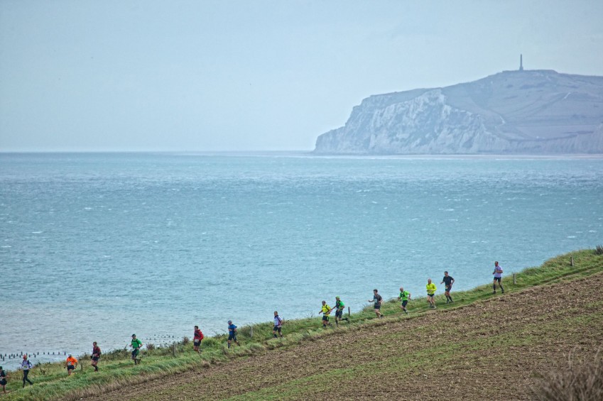
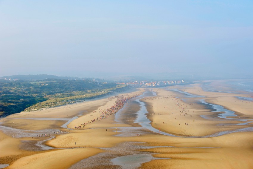
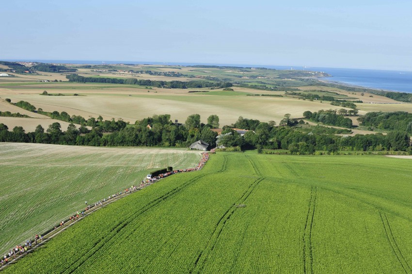
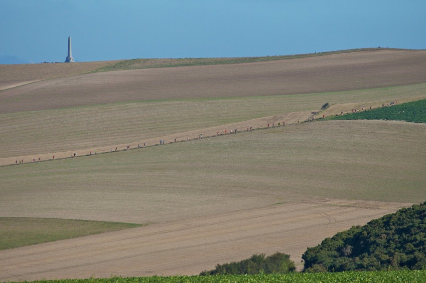
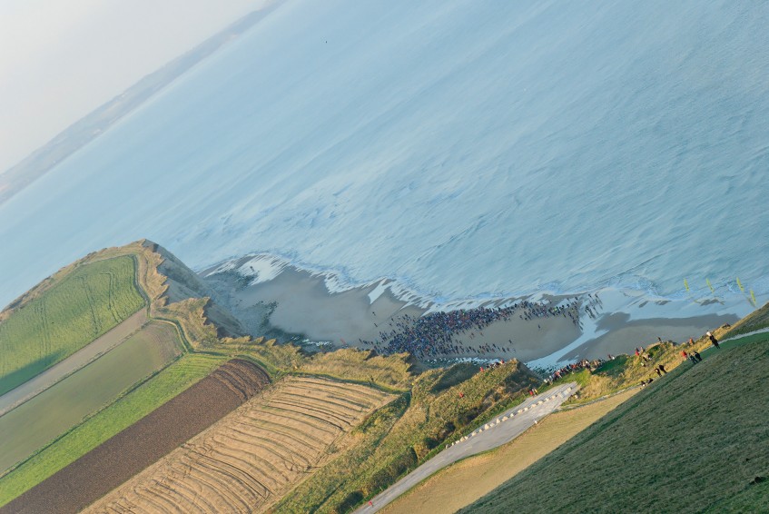
Trail Côte d'Opale 2015 - 62 km


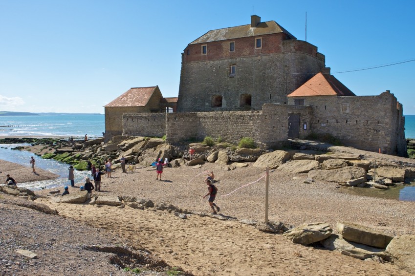
 Wissant (62)
 Wissant (62)
Points of Interest table
| Accum. | Intermediary | |||||||
|---|---|---|---|---|---|---|---|---|
| POI | Description | Alt. | Dist. | D+ | D- | Dist. | D+ | D- |
 Competition organized on 09/13/2015
Trace n°9819
Ascent threshold : 0 m Distance threshold : 30 m Smoothing : Yes Origin of altitudes : MNT Aster GDEM
Ascent threshold : 0 m Distance threshold : 30 m Smoothing : Yes Origin of altitudes : MNT Aster GDEM
Loop
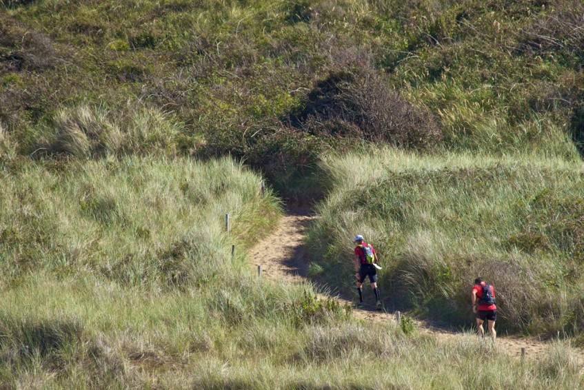
Dominant terrain : Footpath
Max alti. : 154 m
Avg alti. : 41 m
Min alti. : 0 m
Longest ascent : 140 m
Longest descent : 147 m
Dominant terrain : Footpath
Max alti. : 154 m
Avg alti. : 41 m
Min alti. : 0 m
Longest ascent : 140 m
Longest descent : 147 m
Elevation profile
More tools
Create a new roadbook page
Map and track on your website
Warning ! When you insert a Trace de Trail map on your website, you agree not to hide any element of the module (links to Trail Trail or Trail Connect banner)
Add a realisation
Validate
Add a realisation to share your chrono and describe the conditions that you encountered during you trail running !
Add a comment
Validate
Show the infos
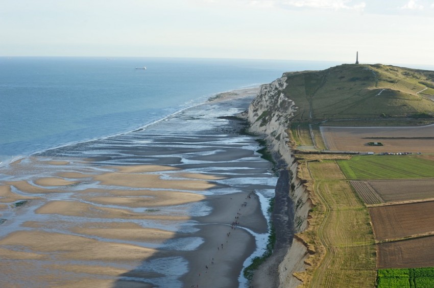
ATTENTION ! Cran de Quette (km55), zone interdite par arrêté municipal. Ouvert uniquement le jour de la course
Add a track


