Show the map
Col de Spandelles - Col d'Ansan - Soum de Granquet - Soum de las Escures
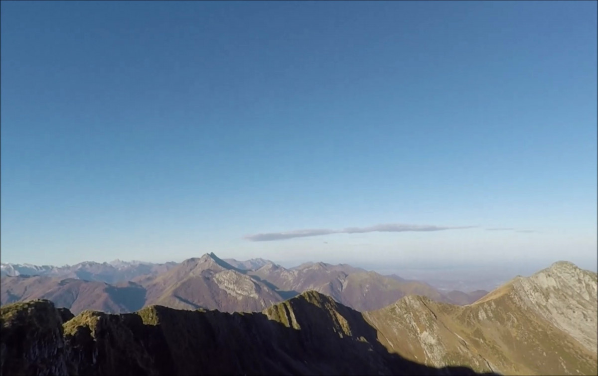


 Ferrières (65)
 Points of Interest table
| Accum. | Intermediary | |||||||
|---|---|---|---|---|---|---|---|---|
| POI | Description | Alt. | Dist. | D+ | D- | Dist. | D+ | D- |
Trace n°74266
Ascent threshold : 3 m Distance threshold : 30 m Smoothing : No Origin of altitudes : MNT Aster GDEM
Ascent threshold : 3 m Distance threshold : 30 m Smoothing : No Origin of altitudes : MNT Aster GDEM
Loop
Dominant terrain : Footpath
Max alti. : 1870 m
Avg alti. : 1546 m
Min alti. : 1243 m
Longest ascent : 550 m
Longest descent : 590 m
Route completed by the author : Yes
Dominant terrain : Footpath
Max alti. : 1870 m
Avg alti. : 1546 m
Min alti. : 1243 m
Longest ascent : 550 m
Longest descent : 590 m
Route completed by the author : Yes
Elevation profile
More tools
Create a new roadbook page
Map and track on your website
Warning ! When you insert a Trace de Trail map on your website, you agree not to hide any element of the module (links to Trail Trail or Trail Connect banner)
Add a realisation
Validate
Add a realisation to share your chrono and describe the conditions that you encountered during you trail running !
Add a comment
Validate
Admin - Trace de Trail
15/12/18, 16:14:13
Bonjour, N'hésitez pas à ajouter une photo pour vos traces, cela nous permet de les mettre en avant dans les modules de recherche de Trail Connect et Trace de Trail en affichant la photo en arrière-plan.
15/12/18, 16:14:13
Bonjour, N'hésitez pas à ajouter une photo pour vos traces, cela nous permet de les mettre en avant dans les modules de recherche de Trail Connect et Trace de Trail en affichant la photo en arrière-plan.
Show the infos
Add a track


