Route n°5 - Les Sanières
Add to my favorites

Route closed
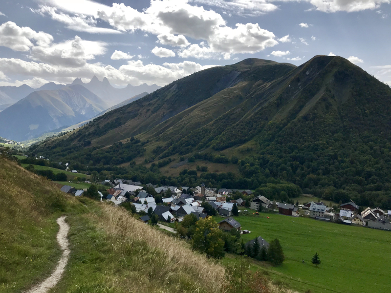
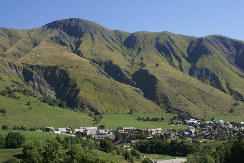
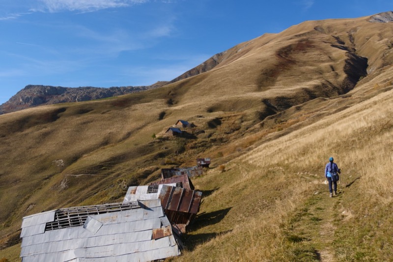
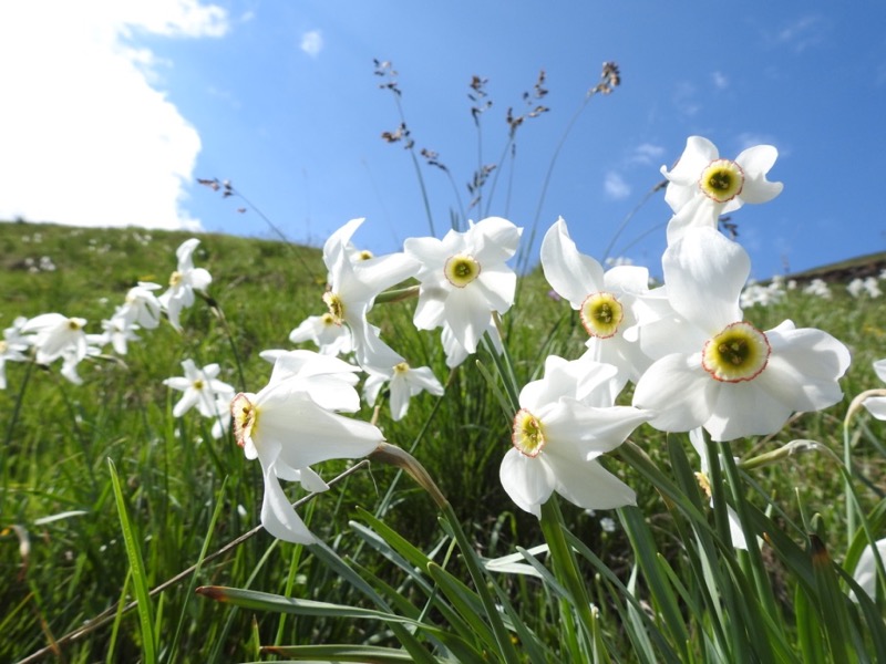
From the village this circuit in balcony offers a breathtaking view of Saint Sorlin d'Arves. The itinerary begins with a single climb to the first alpine pastures. You then discover an old « cabrette », hay cable used to tie and hay down to the village. The trail continues on a false flat through the old pastures of Praz Bel to the hamlet Cufférent. The descent is then by a very playful track through the forest, which leads you to Pierre Aigue in the village of Saint Sorlin to reach the road to the starting point.
The characteristics of the route.

Saint-Sorlin-d’Arves (73)
- Distance 5.1 km
- Elevation gain 390 m
- Elevation lost 390 m
- Min. elevation 1506 m
- Max. elevation. 1893 m
- Duration (depending on pace) 0h45 à 1h30
- Marking Trail-running n°5 blue
Area : Saint Sorlin d’Arves - Col de la Croix de Fer
Report a problem 4 comment
Pdf map Roadbook route 5 Gaubai
finished in 00:42:02
The 2023/07/09
En savoir plus
PhilippeDoudou
finished in 01:22:00
The 2021/08/06
En savoir plus
Ajouter votre chrono et partager vos sensations
2023/07/09 00:42:02
Gaubai
Gaubai
2021/08/06 01:22:00
PhilippeDoudou
PhilippeDoudou
Belle boucle, rallongée depuis le raccord a la route par rocher comborciere et sommet TS lauze
2023/07/09 00:42:02
Gaubai
Gaubai
2021/08/06 01:22:00
PhilippeDoudou
PhilippeDoudou
Belle boucle, rallongée depuis le raccord a la route par rocher comborciere et sommet TS lauze


![]()
Office de Tourisme La Toussuire
Site web
+33 (0)4 79 83 06 06
Office de Tourisme de l'Espace Glandon (Les Villards)
Site web
+33 (0)4 79 56 24 53


OK
Annuler