Show the map
OFFICIAL ROUTE
L'étoile de Martin


11 km
236 m
313 m
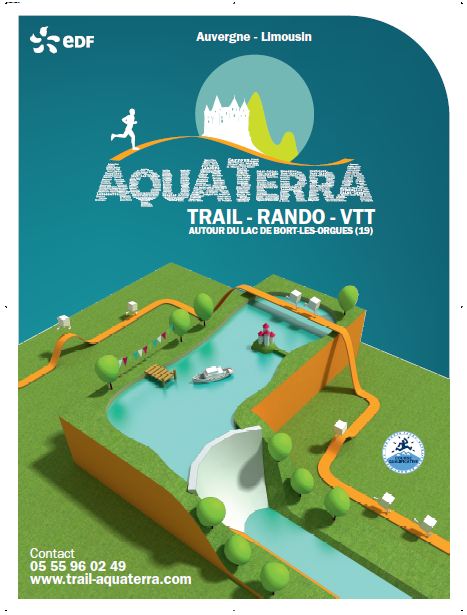
 Sur le barrage hydroéléctrique du lac de Bort les Orgues (19)
 Place Marmontel , Bort les Orgues , le long de la Dordogne (19)
 Points of Interest table
| Accum. | Intermediary | |||||||
|---|---|---|---|---|---|---|---|---|
| POI | Description | Alt. | Dist. | D+ | D- | Dist. | D+ | D- |
 Competition organized on 07/13/2013
Trace n°602
Ascent threshold : 0 m Distance threshold : 35 m Smoothing : Yes Origin of altitudes : MNT Aster GDEM
Ascent threshold : 0 m Distance threshold : 35 m Smoothing : Yes Origin of altitudes : MNT Aster GDEM
Crossing
Dominant terrain : Path
Max alti. : 623 m
Avg alti. : 541 m
Min alti. : 430 m
Longest ascent : 120 m
Longest descent : 220 m
Dominant terrain : Path
Max alti. : 623 m
Avg alti. : 541 m
Min alti. : 430 m
Longest ascent : 120 m
Longest descent : 220 m
Elevation profile
More tools
Create a new roadbook page
Map and track on your website
Warning ! When you insert a Trace de Trail map on your website, you agree not to hide any element of the module (links to Trail Trail or Trail Connect banner)
Add a realisation
Validate
Add a realisation to share your chrono and describe the conditions that you encountered during you trail running !
Add a comment
Validate
Show the infos
Warning ! This track is only accessible on the day of the competition.
Add a track


