Show the map
OFFICIAL ROUTE
O2 Trail 2018


 Inconnu (ND)
 El Aioun (DZ)

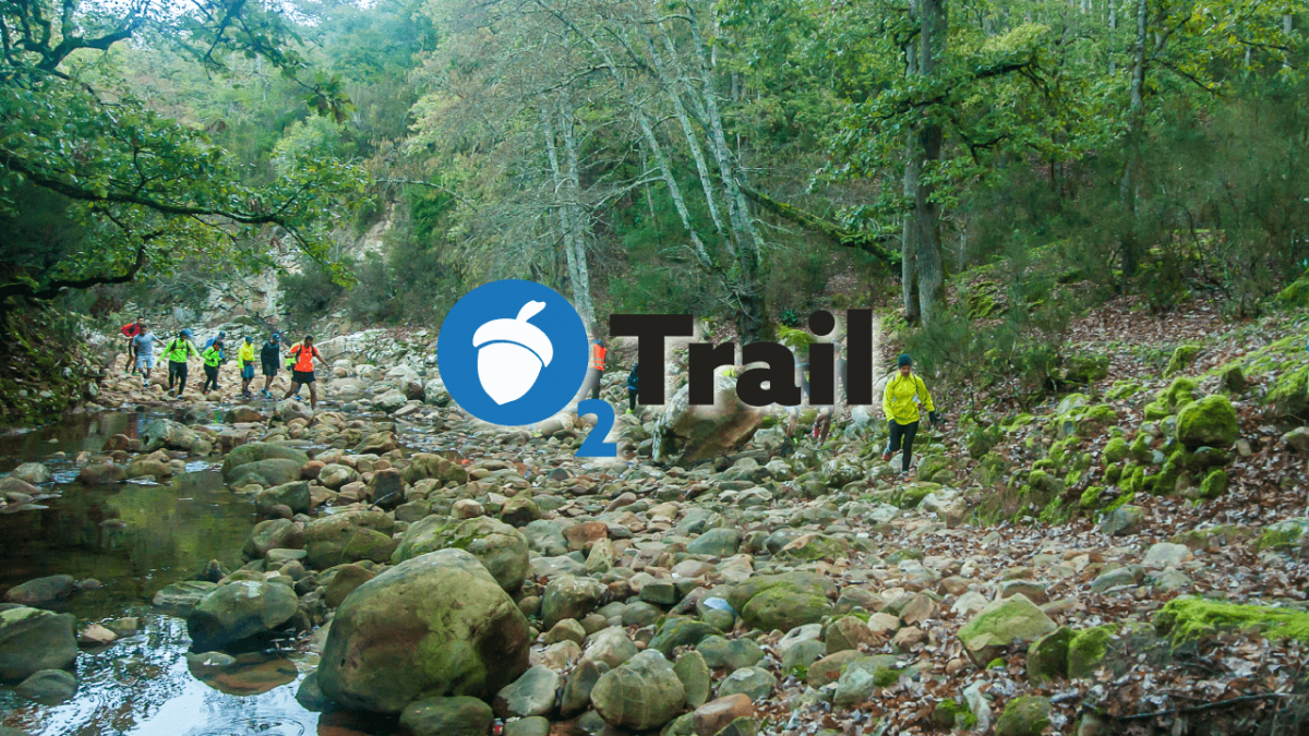
The O2 Trail is a 32k trail that will take place on May 13, 2018 starting from the Oued Zen Natural Park and ends at Ain Draham. With an elevation gain of 1250 meters, this is a new course and it is the only Tunisian trail that is made of 100% forest path.
Points of Interest table
| Accum. | Intermediary | |||||||
|---|---|---|---|---|---|---|---|---|
| POI | Description | Alt. | Dist. | D+ | D- | Dist. | D+ | D- |
 Competition organized on 05/13/2018
Trace n°55612
Ascent threshold : 3 m Distance threshold : 0 m Smoothing : No Origin of altitudes : GPS + MNT Aster GDEM
Ascent threshold : 3 m Distance threshold : 0 m Smoothing : No Origin of altitudes : GPS + MNT Aster GDEM
Crossing
Dominant terrain : Footpath
Max alti. : 820 m
Avg alti. : 531 m
Min alti. : 349 m
Longest ascent : 290 m
Longest descent : 150 m
Dominant terrain : Footpath
Max alti. : 820 m
Avg alti. : 531 m
Min alti. : 349 m
Longest ascent : 290 m
Longest descent : 150 m
Elevation profile
More tools
Create a new roadbook page
Map and track on your website
Warning ! When you insert a Trace de Trail map on your website, you agree not to hide any element of the module (links to Trail Trail or Trail Connect banner)
Add a realisation
Validate
Add a realisation to share your chrono and describe the conditions that you encountered during you trail running !
Show the infos
Add a track


