Show the map
OFFICIAL ROUTE
The Gazuntite 2018 - 80 km


 Wharehine (NZ)
 Wharehine ()


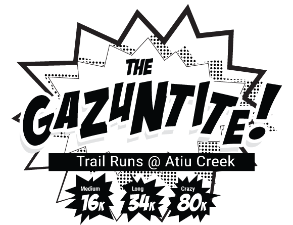
The Gazuntite is a brand new trail run event created to replace The Hillary which has had to be cancelled for 2018 due to a r?hui placed on the Waitakere Ranges by local iwi Te Kawerau a Maki in order to prevent the continued spread of Kauri Dieback.
Choose from an 80km Ultra Run, 80km 2-3 person run relay, or a 34 or 16km run or walk.
Based at a new-ish Auckland Regional Park – Atiu Creek Farm was gifted to the Auckland Regional Council by Jackie and Pierre Chatelanat who wanted to ensure that all New Zealanders could enjoy access to the Kaipara Harbour, and that the cultural and heritage values of the area would be protected. And what a treat they left for all of us!
You’ll enjoy a mix of open farmland, gravel farm tracks, pine covered forestry trails, native bush, hills, some awesome views of the Kaipara Harbour and some hills!!
Points of Interest table
| Accum. | Intermediary | |||||||
|---|---|---|---|---|---|---|---|---|
| POI | Description | Alt. | Dist. | D+ | D- | Dist. | D+ | D- |
 Competition organized on 02/24/2018
Trace n°54240
Ascent threshold : 3 m Distance threshold : 0 m Smoothing : No Origin of altitudes : GPS + MNT Aster GDEM
Ascent threshold : 3 m Distance threshold : 0 m Smoothing : No Origin of altitudes : GPS + MNT Aster GDEM
Crossing
Dominant terrain : Path
Max alti. : 156 m
Avg alti. : 56 m
Min alti. : 0 m
Longest ascent : 160 m
Longest descent : 130 m
Dominant terrain : Path
Max alti. : 156 m
Avg alti. : 56 m
Min alti. : 0 m
Longest ascent : 160 m
Longest descent : 130 m
Elevation profile
More tools
Create a new roadbook page
Map and track on your website
Warning ! When you insert a Trace de Trail map on your website, you agree not to hide any element of the module (links to Trail Trail or Trail Connect banner)
Add a realisation
Validate
Add a realisation to share your chrono and describe the conditions that you encountered during you trail running !
Add a comment
Validate
Show the infos
Add a track


