Show the map
Certified Track - ITRA
Bryce Canyon 2018 - 100 Mile


 Bryce (US)


he 100 miler starts at the Lucky 7 Ranch pond and climbs 700 ft. over 2½ miles on doubletrack up to Proctor Canyon aid station (mile 2.5).
From there the route follows the Grandview trail south for 3 miles on singletrack past an unmanned water station and then continues on for nearly 7 miles and over 3,000 ft. of climbing through one of the most remote and rugged sections of the course to Blubber Creek aid station (mile 12), offering runners their first views from the rim of the Paunsaugunt Plateau.
The route then continues south along the Grandview trail, staying above the rim for just over 7 miles to Kanab Creek aid station (mile 19.5). This section is mixed single track and double track with some amazing views and approximately 1,700 feet of gain and an equal amount of descent.
From here, runners continue on singletrack along the rim for just under 2 miles with some of the best views of the course, then head inland on doubletrack for 3 more miles on a gradual descent to Straight Canyon aid station (mile 24.5).
From here runners leave the aid station on the main road for a half mile, then take a right along a rolling singletrack trail through Mill Valley for just over a mile and then face a brutal 1,500 ft. climb over the next 3 miles up to the high point and crowning overlook of the course at Pink Cliffs aid station (mile 29.5).
After summiting at the turnaround point and aid station (Pink Cliffs), runners will head the opposite direction (north) back through Straight Canyon, Kanab Creek, and Blubber Creek aid stations.
At the water station between Blubber Creek and Proctor Canyon (mile 54), runners will split off of the Grandview trail and climb back up to the edge of the plateau at Blue Fly aid station (mile 57). This section is new to the 100 mile route and takes runners through a colorful hoodoo amphitheatre.
After Blue Fly aid, the route heads inland on a doubletrack that heads northeast on a gradual downhill slope to an aid station near the East Fork of the Sevier River in the center of the plateau. From East Fork aid (mile 65), you’ll continue northwest on doubletrack that takes you back towards the edge of the plateau.
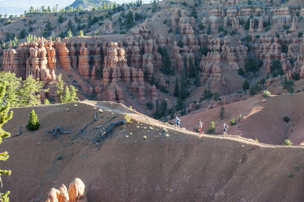
After the aid station at Coyote Hollow trailhead (mile 73), runners hop on the famous Thunder Mountain trail. The first 4 miles of this trail climbs up and down a series of about a dozen small ridges, each with about a hundred feet of climb and descent. It then steeply drops through a series of hoodoos on what is likely the most photographed section of the course. This section of trail can also be a bit slippery on the steeper sections, as there is often a tiny gravel layer that sits on top of the hard pack trail and can cause runners to lose their footing.
When the Thunder Mountain trail T’s into the Grandview trail (approximately mile 79), take a right and head north to the Red Canyon aid station (mile 80.5). From here runners will head out for a 5 mile loop on the spectacular Golden Wall trail, also a new addition to the 100 mile route. There is about 1,400 ft. of climbing and descent on this section.
After passing through Red Canyon aid station a second time (mile 85.5), the route heads south along the Grandview trail 5 miles to an aid station in Hilsdale Canyon. Although this appears to be a comparatively mild section along the bottom of the plateau, this terrain is relentless with constant ups and downs- there is still over 800 ft. of climbing!
The next section is similar, climbing over a series of small ridges in the foothills that ends up being more than a thousand feet of climbing over 7 miles to Proctor Canyon aid station (mile 98).
From here, it is all downhill on the finish line at the pond at the bottom of the canyon.
Points of Interest table
| Accum. | Intermediary | |||||||
|---|---|---|---|---|---|---|---|---|
| POI | Description | Alt. | Dist. | D+ | D- | Dist. | D+ | D- |
 Competition organized on 06/01/2018
Trace n°51231
Ascent threshold : 3 m Distance threshold : 0 m Smoothing : No Origin of altitudes : GPS
Ascent threshold : 3 m Distance threshold : 0 m Smoothing : No Origin of altitudes : GPS
Loop
Dominant terrain : Footpath
Max alti. : 2824 m
Avg alti. : 2521 m
Min alti. : 2207 m
Longest ascent : 290 m
Longest descent : 400 m
Dominant terrain : Footpath
Max alti. : 2824 m
Avg alti. : 2521 m
Min alti. : 2207 m
Longest ascent : 290 m
Longest descent : 400 m
Elevation profile
More tools
Create a new roadbook page
Map and track on your website
Warning ! When you insert a Trace de Trail map on your website, you agree not to hide any element of the module (links to Trail Trail or Trail Connect banner)
Add a realisation
Validate
Add a realisation to share your chrono and describe the conditions that you encountered during you trail running !
Add a comment
Validate
Show the infos
Add a track


