
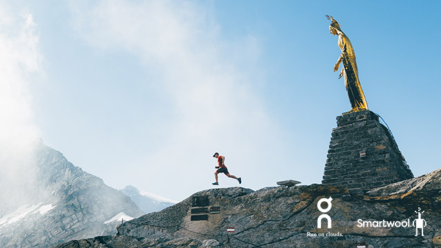
Ultra Tour Monte Rosa 2018 - 3 Passes - 100 km
ITRA
 97.8 km
6420 m
6430 m
97.8 km
6420 m
6430 m

GPX
21
PDF
Profile
Share
3D
Favorites
Reviews
Like
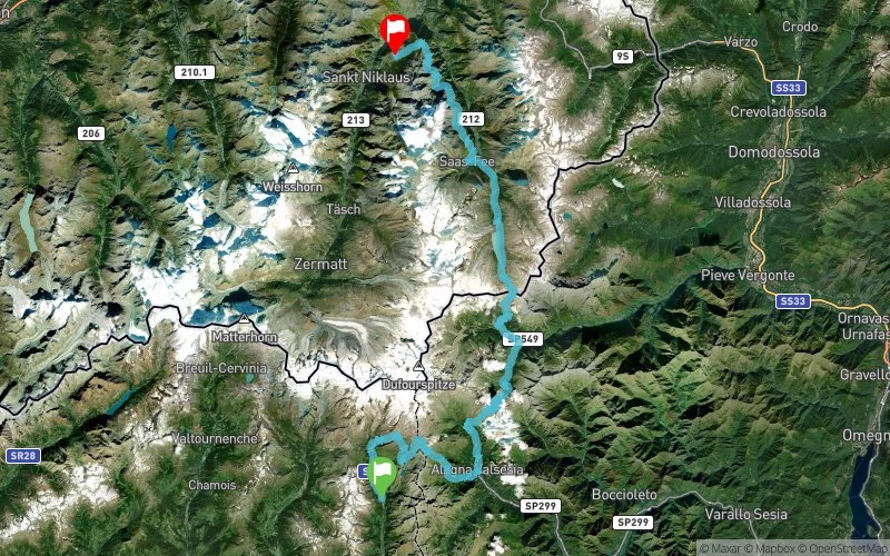
Gressoney-la-Trinité (IT) Grächen (CH)
Effort kilometer
Longest ascent
Longest descent
162
1600 m
1870 m
Max. elevation
Min. elevation
Quality index
2962 m
1149 m
 1pt/12m
A shorter race for those who want to experience the delights on the Italian side of the Ultra Tour Monte Rosa.
Track created by UltraTourMonteRosa
le 2018/01/17 (modified on 2018/01/19)
le 2018/01/17 (modified on 2018/01/19)

Gressoney-La-Trinité
Distance
0 km
Altitude
1651 m
D+
0 m
D-
0 m
97.8 km
6418 m
6429 m
Finish
Distance
97.8 km
Altitude
1640 m
D+
6418 m
D-
6429 m
Click on a point of interest to display it on the map
Reviews and times
Add a track
Ultra Tour Monte Rosa 2018 - 3 Passes - 100 km

Track number : 50927
Link to track :
https://tracedetrail.fr/en/trace/50927
Log in to insert this track on your website
 Trace de Trail