Show the map
OFFICIAL ROUTE
Trail des Passerelles du Monteynard 2018 - Rando des Passerelles
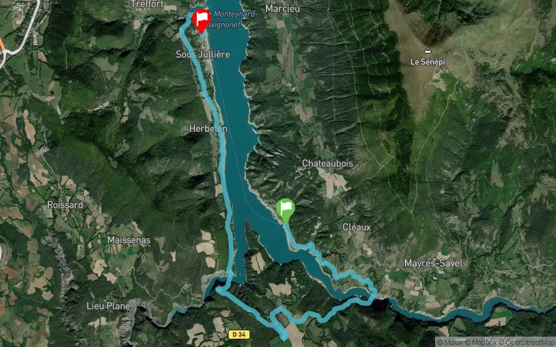


 Mayres-Savel (38)
 Treffort (38)
 Points of Interest table
| Accum. | Intermediary | |||||||
|---|---|---|---|---|---|---|---|---|
| POI | Description | Alt. | Dist. | D+ | D- | Dist. | D+ | D- |
 Competition organized on 07/14/2018
Trace n°46574
Ascent threshold : 3 m Distance threshold : 30 m Smoothing : Yes Origin of altitudes : MNT IGN
Ascent threshold : 3 m Distance threshold : 30 m Smoothing : Yes Origin of altitudes : MNT IGN
Crossing
Dominant terrain : Footpath
Max alti. : 695 m
Avg alti. : 550 m
Min alti. : 484 m
Longest ascent : 210 m
Longest descent : 200 m
Dominant terrain : Footpath
Max alti. : 695 m
Avg alti. : 550 m
Min alti. : 484 m
Longest ascent : 210 m
Longest descent : 200 m
More tools
Create a new roadbook page
Map and track on your website
Warning ! When you insert a Trace de Trail map on your website, you agree not to hide any element of the module (links to Trail Trail or Trail Connect banner)
Add a realisation
Validate
Add a realisation to share your chrono and describe the conditions that you encountered during you trail running !
Add a comment
Validate
Show the infos
Parcours sous réserve de modification
Add a track


