Show the map
Vallée des Prêtres - Vallée de la Vigne
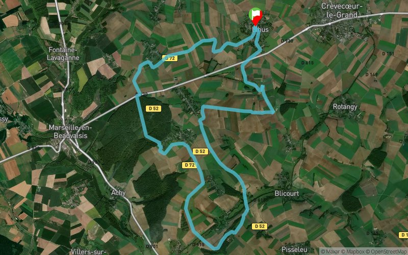


26.3 km
270 m
270 m
 Lihus (60)
 Points of Interest table
| Accum. | Intermediary | |||||||
|---|---|---|---|---|---|---|---|---|
| POI | Description | Alt. | Dist. | D+ | D- | Dist. | D+ | D- |
Trace n°45424
Ascent threshold : 3 m Distance threshold : 30 m Smoothing : Yes Origin of altitudes : MNT IGN
Ascent threshold : 3 m Distance threshold : 30 m Smoothing : Yes Origin of altitudes : MNT IGN
Loop
Dominant terrain : Footpath
Max alti. : 187 m
Avg alti. : 165 m
Min alti. : 101 m
Longest ascent : 90 m
Longest descent : 80 m
Route completed by the author : No
Dominant terrain : Footpath
Max alti. : 187 m
Avg alti. : 165 m
Min alti. : 101 m
Longest ascent : 90 m
Longest descent : 80 m
Route completed by the author : No
Elevation profile
More tools
Create a new roadbook page
Map and track on your website
Warning ! When you insert a Trace de Trail map on your website, you agree not to hide any element of the module (links to Trail Trail or Trail Connect banner)
Add a realisation
Validate
Add a realisation to share your chrono and describe the conditions that you encountered during you trail running !
Add a comment
Validate
Admin - Trace de Trail
19/08/20, 13:35:55
Bonjour, j'ai mis à jour le profil... En France il faut privilégier le MNT IGN pour le calcul du dénivelé
19/08/20, 13:35:55
Bonjour, j'ai mis à jour le profil... En France il faut privilégier le MNT IGN pour le calcul du dénivelé
Melvin
19/08/20, 13:10:05
Trace suivi ce matin ... Le dénivelé annoncé est bien loin du compte .. nous somme plus sur 350.. déçu.
19/08/20, 13:10:05
Trace suivi ce matin ... Le dénivelé annoncé est bien loin du compte .. nous somme plus sur 350.. déçu.
Show the infos
Add a track


