Show the map
OFFICIAL ROUTE
Hivernale des Templiers 2018 - Astragale Trail


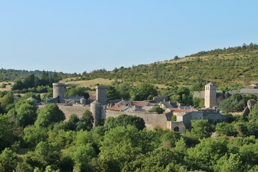
 La Couvertoirade (12)
 Roquefort-sur-Soulzon (12)
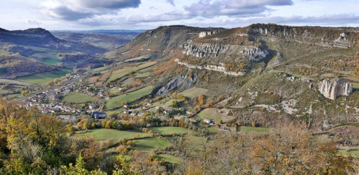
Points of Interest table
| Accum. | Intermediary | |||||||
|---|---|---|---|---|---|---|---|---|
| POI | Description | Alt. | Dist. | D+ | D- | Dist. | D+ | D- |
 Competition organized on 12/02/2018
Trace n°38655
Ascent threshold : 0 m Distance threshold : 30 m Smoothing : Yes Origin of altitudes : MNT IGN
Ascent threshold : 0 m Distance threshold : 30 m Smoothing : Yes Origin of altitudes : MNT IGN
Crossing
Dominant terrain : Footpath
Max alti. : 852 m
Avg alti. : 728 m
Min alti. : 471 m
Longest ascent : 380 m
Longest descent : 350 m
Dominant terrain : Footpath
Max alti. : 852 m
Avg alti. : 728 m
Min alti. : 471 m
Longest ascent : 380 m
Longest descent : 350 m
More tools
Create a new roadbook page
Map and track on your website
Warning ! When you insert a Trace de Trail map on your website, you agree not to hide any element of the module (links to Trail Trail or Trail Connect banner)
Add a realisation
Validate
Add a realisation to share your chrono and describe the conditions that you encountered during you trail running !
Add a comment
Validate
Show the infos
Add a track


