Show the map
OFFICIAL ROUTE
Ultra-Trail Fuego y Agua Nicaragua 2017 - 100 km


 Inconnu (ND)


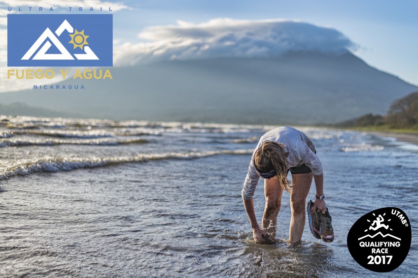
An Ultra-Trail du Mont-Blanc® qualifier for points and the ultimate ultramarathon challenge! The 100KM ULTRA-TRAIL® course is an extremely rugged loop course that completes 2x ascents of Maderas and 2x ascents of Concepcion Volcanoes! The terrain includes dirt trail, sandy beach, paved road, technical single track trail, and the infamous "jungle gym" section where racers will navigate a chaotic web of Ometepe trees, disappearing trail and deep mud **a 2+ liter (minimum) Hydration Pack is REQUIRED
Trophies for the first 3 places in the 100KM ULTRA-TRAIL® Male & Female
Points of Interest table
| Accum. | Intermediary | |||||||
|---|---|---|---|---|---|---|---|---|
| POI | Description | Alt. | Dist. | D+ | D- | Dist. | D+ | D- |
 Competition organized on 05/13/2017
Trace n°34646
Ascent threshold : 3 m Distance threshold : 30 m Smoothing : Yes Origin of altitudes : MNT Google
Ascent threshold : 3 m Distance threshold : 30 m Smoothing : Yes Origin of altitudes : MNT Google
Loop
Dominant terrain : Path
Max alti. : 1590 m
Avg alti. : 347 m
Min alti. : 32 m
Longest ascent : 1490 m
Longest descent : 1510 m
Dominant terrain : Path
Max alti. : 1590 m
Avg alti. : 347 m
Min alti. : 32 m
Longest ascent : 1490 m
Longest descent : 1510 m
Elevation profile
More tools
Create a new roadbook page
Map and track on your website
Warning ! When you insert a Trace de Trail map on your website, you agree not to hide any element of the module (links to Trail Trail or Trail Connect banner)
Add a realisation
Validate
Add a realisation to share your chrono and describe the conditions that you encountered during you trail running !
Add a comment
Validate
Admin - Trace de Trail
21/03/17, 20:51:16
Bonjour, Merci de ne laisser en publique qu'une seule trace pour une même compétition.
21/03/17, 20:51:16
Bonjour, Merci de ne laisser en publique qu'une seule trace pour une même compétition.
Show the infos
Add a track


