Show the map
Evaluated Track - ITRA
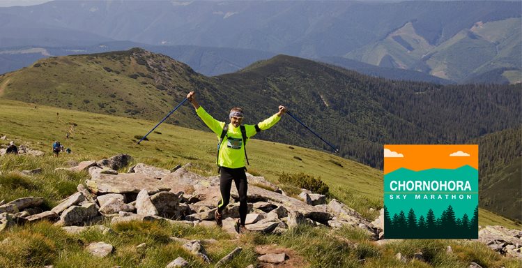
Chornohora Sky Marathon 2017 - 60K


 Inconnu (UA)
 Inconnu (UA)


A 60 km run with a total elevation gain of 3000 meters that goes through all Ukrainian peaks over 2000 meters on the Chornohora mountain range and the summit of the Mount Petros.
Points of Interest table
| Accum. | Intermediary | |||||||
|---|---|---|---|---|---|---|---|---|
| POI | Description | Alt. | Dist. | D+ | D- | Dist. | D+ | D- |
 Competition organized on 08/19/2017
Trace n°30162
Ascent threshold : 3 m Distance threshold : 30 m Smoothing : Yes Origin of altitudes : MNT Aster GDEM
Ascent threshold : 3 m Distance threshold : 30 m Smoothing : Yes Origin of altitudes : MNT Aster GDEM
Crossing
Dominant terrain : Footpath
Max alti. : 2037 m
Avg alti. : 1425 m
Min alti. : 565 m
Longest ascent : 1340 m
Longest descent : 1560 m
Dominant terrain : Footpath
Max alti. : 2037 m
Avg alti. : 1425 m
Min alti. : 565 m
Longest ascent : 1340 m
Longest descent : 1560 m
Elevation profile
More tools
Create a new roadbook page
Map and track on your website
Warning ! When you insert a Trace de Trail map on your website, you agree not to hide any element of the module (links to Trail Trail or Trail Connect banner)
Add a realisation
Validate
Add a realisation to share your chrono and describe the conditions that you encountered during you trail running !
Add a comment
Validate
Show the infos
Add a track


