Circuit 5 Black - The four Lakes
Add to my favorites

Route closed
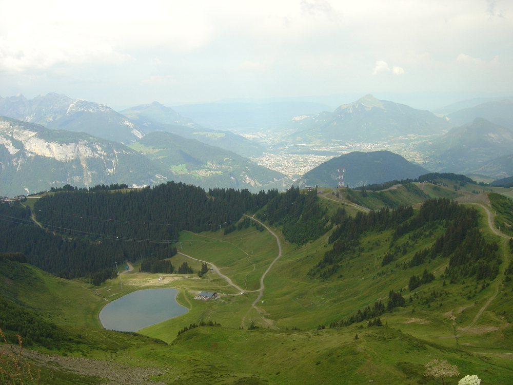
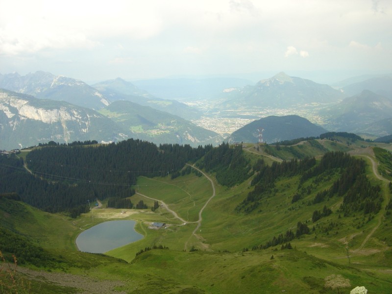
After joining "Little Canada" by a descent with some technical passages, you will walk along the Flaine Lake by a path on the balcony to reach the Col du Cou. After crossing the head of the Arbaron by the path of the ropes, you will discover the pasture of the Molliets.
The characteristics of the route.
Flaine (74)
- Distance 25.4 km
- Elevation gain 1360 m
- Elevation lost 1350 m
- Min. elevation 1376 m
- Max. elevation. 2202 m
- Duration (depending on pace) 2h30 à 5h
- Marking yes
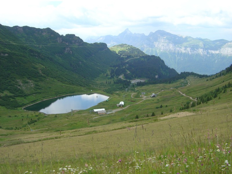
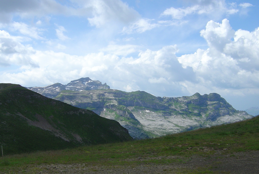
Following this rolling part, a long and difficult climb will lead you to the Tête du Pré des Saix. Crossing the pastures of Airon, you will discover its lake and its inn. In the descent towards the Vernant pass, you will overhang its lake before climbing towards the Grands Vans.
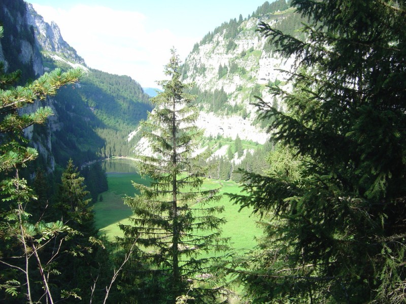
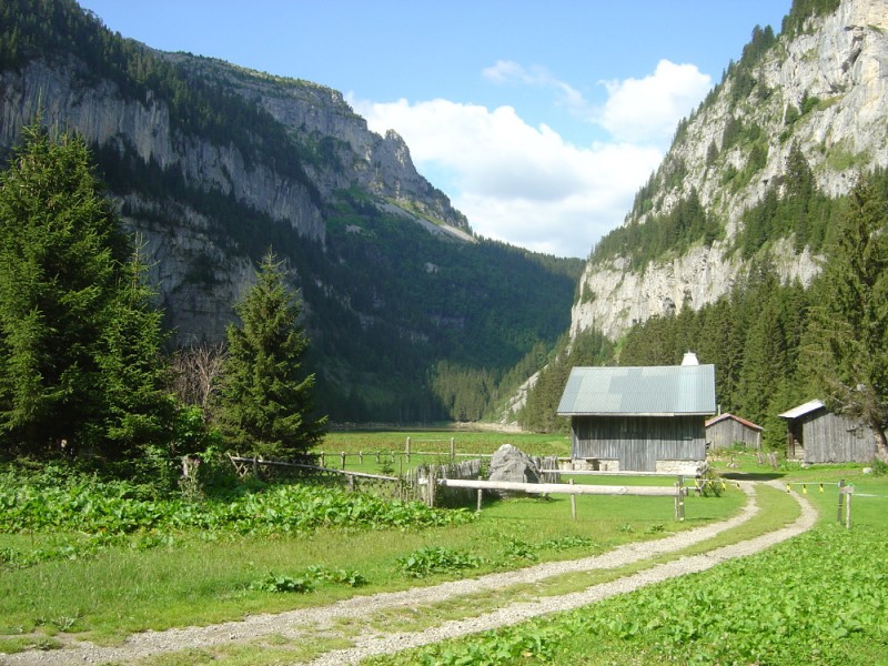
During the descent you will cross the Veret pass to reach Lake Vernant. The return will be via a 4x4 path to the pass of Pierre Carrée. The last descent on Flaine will make you discover the forest of the Gerrats.
During the descent you will cross the Veret pass to reach Lake Vernant. The return will be via a 4x4 path to the pass of Pierre Carrée. The last descent on Flaine will make you discover the forest of the Gerrats.
Area : Flaine
Report a problem 1 comment
Fiche PDF Trail 5 Les Quatre Lacs tvandew
finished in 03:11:45
The 2023/08/23
En savoir plus
Fetesuyouki-1979
finished in 02:51:02
The 2021/08/13
En savoir plus
Ajouter votre chrono et partager vos sensations
2023/08/23 03:11:45
tvandew
tvandew
Parcours très bien balisés ! Superbes paysages
2021/08/13 02:51:02
Fetesuyouki-1979
Fetesuyouki-1979
Légère loose topo du coup 1km de plus.
2023/08/23 03:11:45
tvandew
tvandew
Parcours très bien balisés ! Superbes paysages
2021/08/13 02:51:02
Fetesuyouki-1979
Fetesuyouki-1979
Légère loose topo du coup 1km de plus.


Follow us on
the digital trails
the digital trails


![]()
Infos & contacts
Flaine Tourist Office
Tél. +33 (0)4 50 90 80 01
Les Carroz sports club
sports@aracheslafrasse.fr - Tél. +33 (0)4 50 90 24 80
Cluses Arve & montagnes Tourist Office
Tél. +33 (0)4 50 96 69 69


OK
Annuler