Show the map
Certified Track - ITRA
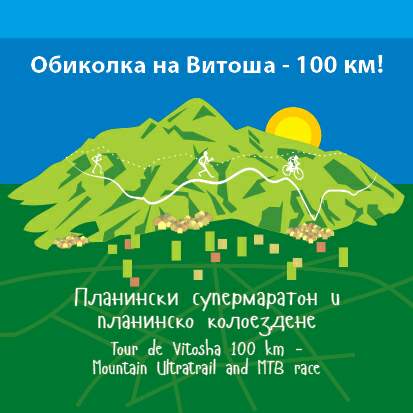
Ultra Trail Vitosha 2016 - Chepelarski Tarkala


 ???????? / Chepelare (BG)


The competition consist for different rounds around 20km each with the same begining and with the same end. Almost the whole corse is paths and forest black roads and some asphalt on the crossing of the city.
Points of Interest table
| Accum. | Intermediary | |||||||
|---|---|---|---|---|---|---|---|---|
| POI | Description | Alt. | Dist. | D+ | D- | Dist. | D+ | D- |
 Competition organized on 07/24/2016
Trace n°20760
Ascent threshold : 3 m Distance threshold : 0 m Smoothing : No Origin of altitudes : GPS
Ascent threshold : 3 m Distance threshold : 0 m Smoothing : No Origin of altitudes : GPS
Loop
Dominant terrain : Path
Max alti. : 1877 m
Avg alti. : 1350 m
Min alti. : 999 m
Longest ascent : 800 m
Longest descent : 830 m
Dominant terrain : Path
Max alti. : 1877 m
Avg alti. : 1350 m
Min alti. : 999 m
Longest ascent : 800 m
Longest descent : 830 m
Elevation profile
More tools
Create a new roadbook page
Map and track on your website
Warning ! When you insert a Trace de Trail map on your website, you agree not to hide any element of the module (links to Trail Trail or Trail Connect banner)
Add a realisation
Validate
Add a realisation to share your chrono and describe the conditions that you encountered during you trail running !
Add a comment
Validate
Show the infos
Add a track


