Show the map
Villars-Santenoge - Forêt d'Auberive - Germaines - Colmier-le-Haut
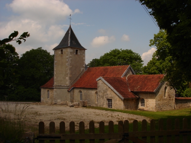


 Chaugeey, 21290 a coté de l'église (21)
a nice trail, use GPS, the yellow flashes may be helpfull
Points of Interest table
| Accum. | Intermediary | |||||||
|---|---|---|---|---|---|---|---|---|
| POI | Description | Alt. | Dist. | D+ | D- | Dist. | D+ | D- |
Trace n°20020
Ascent threshold : 3 m Distance threshold : 30 m Smoothing : Yes Origin of altitudes : MNT Aster GDEM
Ascent threshold : 3 m Distance threshold : 30 m Smoothing : Yes Origin of altitudes : MNT Aster GDEM
Loop
Dominant terrain : Footpath
Max alti. : 465 m
Avg alti. : 412 m
Min alti. : 321 m
Longest ascent : 130 m
Longest descent : 130 m
Route completed by the author : nc
Dominant terrain : Footpath
Max alti. : 465 m
Avg alti. : 412 m
Min alti. : 321 m
Longest ascent : 130 m
Longest descent : 130 m
Route completed by the author : nc
Elevation profile
More tools
Create a new roadbook page
Map and track on your website
Warning ! When you insert a Trace de Trail map on your website, you agree not to hide any element of the module (links to Trail Trail or Trail Connect banner)
Add a realisation
Validate
Add a realisation to share your chrono and describe the conditions that you encountered during you trail running !
Add a comment
Validate
Show the infos
Add a track


