Show the map
OFFICIAL ROUTE
Descubriendo Paraguana Trail 2016 - 46 km


 Inconnu (VE)


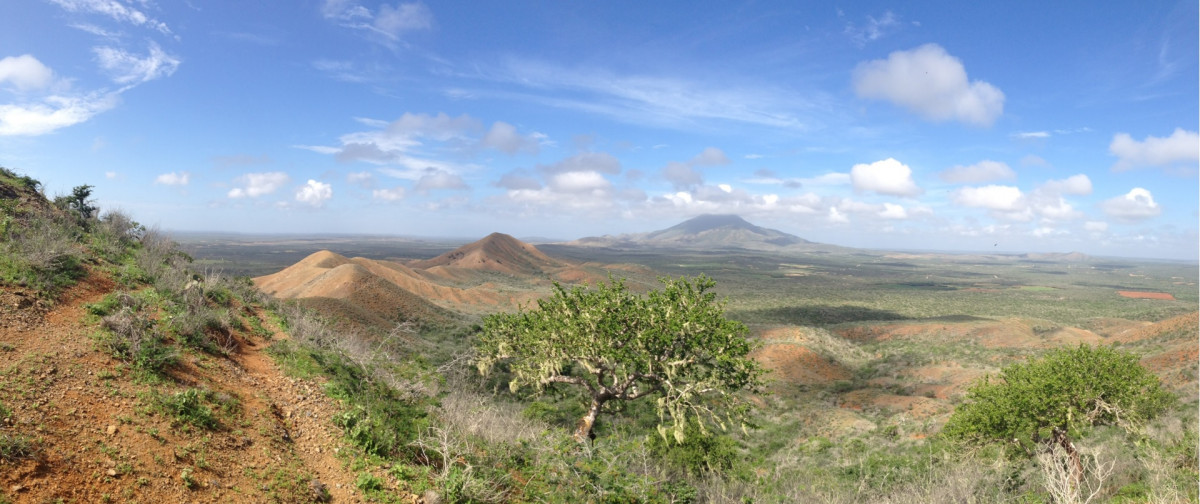
Descubriendo Paraguana is a race where participants must travel in a xerophytic zone and arid soil with strong winds, less traveled paths, streams and mountain trails. They raffled uneven terrain, sandy stretches where the rider will be subject to contingencies own trail running race in the natural surroundings of Santa Ana de Paraguana, Falcon, Venezuela.
Points of Interest table
| Accum. | Intermediary | |||||||
|---|---|---|---|---|---|---|---|---|
| POI | Description | Alt. | Dist. | D+ | D- | Dist. | D+ | D- |
 Competition organized on 08/20/2016
Trace n°18332
Ascent threshold : 3 m Distance threshold : 0 m Smoothing : No Origin of altitudes : GPS
Ascent threshold : 3 m Distance threshold : 0 m Smoothing : No Origin of altitudes : GPS
Loop
Dominant terrain : Path
Max alti. : 411 m
Avg alti. : 106 m
Min alti. : 27 m
Longest ascent : 370 m
Longest descent : 310 m
Dominant terrain : Path
Max alti. : 411 m
Avg alti. : 106 m
Min alti. : 27 m
Longest ascent : 370 m
Longest descent : 310 m
Elevation profile
More tools
Create a new roadbook page
Map and track on your website
Warning ! When you insert a Trace de Trail map on your website, you agree not to hide any element of the module (links to Trail Trail or Trail Connect banner)
Add a realisation
Validate
Add a realisation to share your chrono and describe the conditions that you encountered during you trail running !
Add a comment
Validate
Show the infos
Add a track


