Show the map
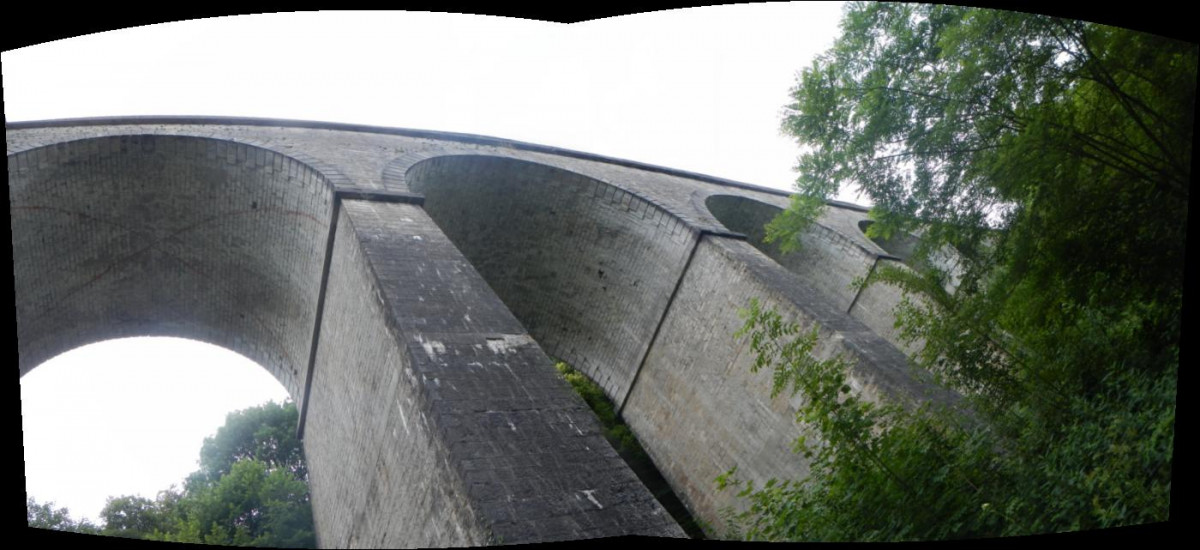
Arbois - Sortie des Viaducs


 Arbois (39)
 Points of Interest table
| Accum. | Intermediary | |||||||
|---|---|---|---|---|---|---|---|---|
| POI | Description | Alt. | Dist. | D+ | D- | Dist. | D+ | D- |
Trace n°1706
Ascent threshold : 0 m Distance threshold : 35 m Smoothing : Yes Origin of altitudes : MNT Aster GDEM
Ascent threshold : 0 m Distance threshold : 35 m Smoothing : Yes Origin of altitudes : MNT Aster GDEM
Loop
Dominant terrain : Footpath
Max alti. : 532 m
Avg alti. : 383 m
Min alti. : 271 m
Longest ascent : 234 m
Longest descent : 208 m
Route completed by the author : nc
Dominant terrain : Footpath
Max alti. : 532 m
Avg alti. : 383 m
Min alti. : 271 m
Longest ascent : 234 m
Longest descent : 208 m
Route completed by the author : nc
Elevation profile
More tools
Create a new roadbook page
Map and track on your website
Warning ! When you insert a Trace de Trail map on your website, you agree not to hide any element of the module (links to Trail Trail or Trail Connect banner)
Add a realisation
Validate
Add a realisation to share your chrono and describe the conditions that you encountered during you trail running !
Add a comment
Validate
Will
24/01/14, 08:21:14
Belle portion de route sur 3kms (D54), après passage sous le pont "les Pommerets" (Mesnay).
De quoi faire bien tourner les jambes et n'oubliez pas de regarder le paysage, ça vaut le coup d’œil !! ;-)
24/01/14, 08:21:14
Belle portion de route sur 3kms (D54), après passage sous le pont "les Pommerets" (Mesnay).
De quoi faire bien tourner les jambes et n'oubliez pas de regarder le paysage, ça vaut le coup d’œil !! ;-)
Show the infos
Add a track


