Show the map
Certified Track - ITRA
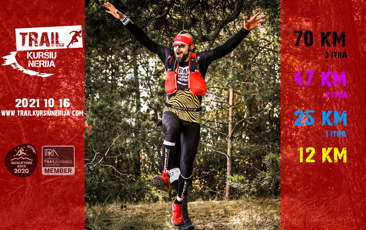
Trail Kursiu Nerija 2021 - Curonian Half


 Race center (Hotel Jachtklubas) (LT)

Those who want to explore the Curonian Spit more will have to wander more.
In this distance you will see all places of the shortest tracks - run through Neringa's forest and climb to few small hills and WWII defensive fort bunkers which was saving Klaip?da city from air attacks in the World war II, but also you will be able to feel the freedom of forgotten, wild and wide beach.
Once you’ll reach the top of the "Bear's head” dune do not forget to turn around - you will see the panorama of Klaip?da city.
The last kilometers goes near Curonian lagoon, you will see there our port from the other side as well as liquefied natural gas storage ship "Independence".
Points of Interest table
| Accum. | Intermediary | |||||||
|---|---|---|---|---|---|---|---|---|
| POI | Description | Alt. | Dist. | D+ | D- | Dist. | D+ | D- |
 Competition organized on 10/16/2021
Trace n°143134
Ascent threshold : 3 m Distance threshold : 30 m Smoothing : Yes Origin of altitudes : MNT Google
Ascent threshold : 3 m Distance threshold : 30 m Smoothing : Yes Origin of altitudes : MNT Google
Loop
Dominant terrain : Footpath
Max alti. : 35 m
Avg alti. : 8 m
Min alti. : 0 m
Longest ascent : 40 m
Longest descent : 40 m
Dominant terrain : Footpath
Max alti. : 35 m
Avg alti. : 8 m
Min alti. : 0 m
Longest ascent : 40 m
Longest descent : 40 m
Elevation profile
More tools
Create a new roadbook page
Map and track on your website
Warning ! When you insert a Trace de Trail map on your website, you agree not to hide any element of the module (links to Trail Trail or Trail Connect banner)
Add a realisation
Validate
Add a realisation to share your chrono and describe the conditions that you encountered during you trail running !
Add a comment
Validate
Show the infos
Warning ! This track is only accessible on the day of the competition.
Add a track


