Show the map
Sortie Trièves Team RaidLight Isère
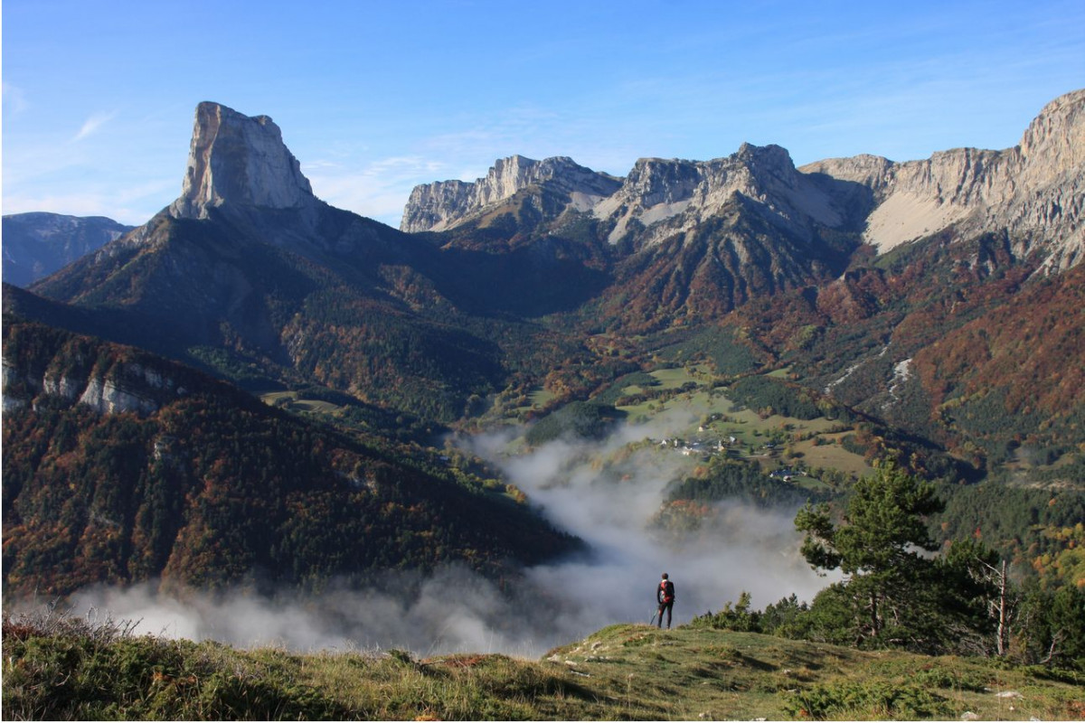


 Saint-Martin-de-Clelles (38)
 Points of Interest table
| Accum. | Intermediary | |||||||
|---|---|---|---|---|---|---|---|---|
| POI | Description | Alt. | Dist. | D+ | D- | Dist. | D+ | D- |
Trace n°1329
Ascent threshold : 0 m Distance threshold : 35 m Smoothing : Yes Origin of altitudes : MNT Aster GDEM
Ascent threshold : 0 m Distance threshold : 35 m Smoothing : Yes Origin of altitudes : MNT Aster GDEM
Loop
Dominant terrain : Footpath
Max alti. : 1487 m
Avg alti. : 947 m
Min alti. : 632 m
Longest ascent : 505 m
Longest descent : 814 m
Route completed by the author : nc
Dominant terrain : Footpath
Max alti. : 1487 m
Avg alti. : 947 m
Min alti. : 632 m
Longest ascent : 505 m
Longest descent : 814 m
Route completed by the author : nc
Elevation profile
More tools
Create a new roadbook page
Map and track on your website
Warning ! When you insert a Trace de Trail map on your website, you agree not to hide any element of the module (links to Trail Trail or Trail Connect banner)
Add a realisation
Validate
Add a realisation to share your chrono and describe the conditions that you encountered during you trail running !
Add a comment
Validate
Fabrice38
27/10/13, 18:06:41
Tu as aussi réalisé une super "balade " samedi chapeau pour ta course et que dire de Madame !!!
27/10/13, 18:06:41
Tu as aussi réalisé une super "balade " samedi
More comments
Admin - Trace de Trail
27/10/13, 17:42:30
Belle sortie, ça devait être sympa avec les couleurs d'automne !
27/10/13, 17:42:30
Belle sortie, ça devait être sympa avec les couleurs d'automne !
Show the infos
Add a track


