Show the map
OFFICIAL ROUTE
Le chemin du Duc - Merdrignac


12.3 km
160 m
160 m
 Merdrignac (22)
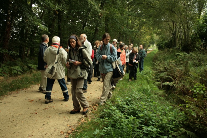
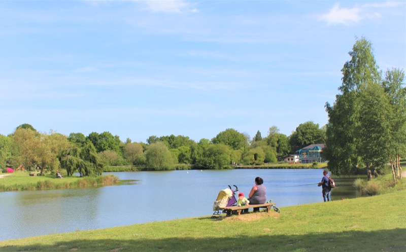
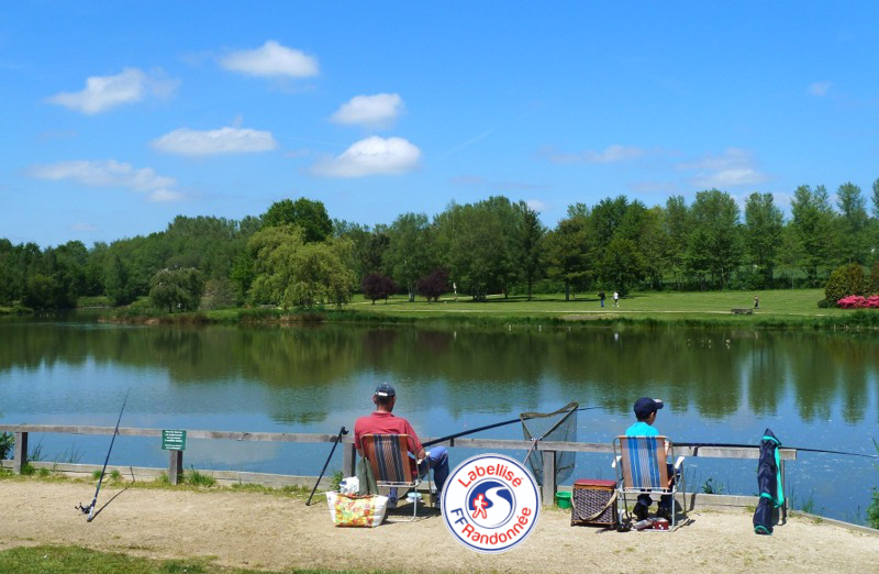
Next the Hardouinais forest, and formerly a vicus (hamlet) on the Roman road from Rennes to Carhaix, the small town of Merdrignac proudly displays the Val of Landrouët site and lets you discover its countryside along its paths and small roads.
Points of Interest table
| Accum. | Intermediary | |||||||
|---|---|---|---|---|---|---|---|---|
| POI | Description | Alt. | Dist. | D+ | D- | Dist. | D+ | D- |
Trace n°114342
Ascent threshold : 3 m Distance threshold : 30 m Smoothing : Yes Origin of altitudes : MNT IGN
Ascent threshold : 3 m Distance threshold : 30 m Smoothing : Yes Origin of altitudes : MNT IGN
Loop
Dominant terrain : Footpath
Max alti. : 183 m
Avg alti. : 154 m
Min alti. : 126 m
Longest ascent : 60 m
Longest descent : 50 m
Route completed by the author : Yes
Dominant terrain : Footpath
Max alti. : 183 m
Avg alti. : 154 m
Min alti. : 126 m
Longest ascent : 60 m
Longest descent : 50 m
Route completed by the author : Yes
Elevation profile
More tools
Create a new roadbook page
Map and track on your website
Warning ! When you insert a Trace de Trail map on your website, you agree not to hide any element of the module (links to Trail Trail or Trail Connect banner)
Add a realisation
Validate
Add a realisation to share your chrono and describe the conditions that you encountered during you trail running !
Add a comment
Validate
Gufla
02/03/21, 09:08:45
Circuit plat sans difficultés. Très peu de goudron. Variantes possibles pour éviter le centre bourg et/ou pour raccourcir le circuit. Beau parcours.
02/03/21, 09:08:45
Circuit plat sans difficultés. Très peu de goudron. Variantes possibles pour éviter le centre bourg et/ou pour raccourcir le circuit. Beau parcours.
Show the infos
Add a track


