Show the map
Certified Track - ITRA
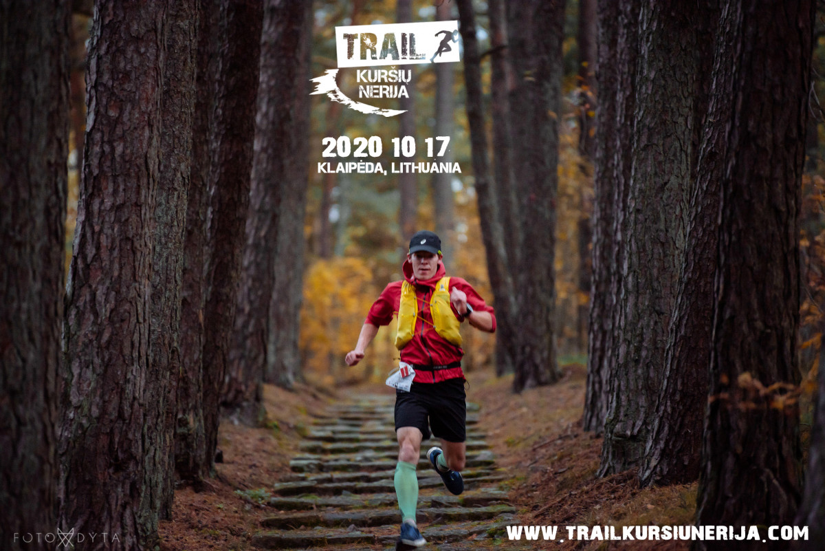
Trail Kursiu Nerija 2020 - Curonian Ultra


70.7 km
950 m
980 m
 Nida city (Parnidis dune) (LT)
 Race center (Hotel Jachtklubas) (LT)
 1
1 370
370
Only the bravest, toughest and the most curious ones will choose this ULTRA race track. They will be running along the way the of whole Curonian Spit (Kurši? nerija). Imagine: it’s 6.00 AM and you are on the way to one of your biggest challenge. Nida city, dune of Parnidis are finally here; the sundial is showing nothing because of the fog, which is starting to spread out. You can feel the humidity and the wind in the air and right before your eyes you can see the magnificent sand dune and beautiful lagoon. The siren announces start of one of the best adventure in your life. Track is leading you through Nida's forest, the lighthouse, highest hill in Curonian spit (Vecekrugas 67m) there the view of Curonian Lagoon and Baltic sea will shock you. Preila city, long wild beach reservation of Naglis (11,5 km), the dark and dense forest of Juodkrant? city, where you will see the big colony of gray gooseberry's and cormorants, the hill of Witches and more than ten highest hills and dunes. When you will overcome the whole distance you will reach about 1000 vertical meters. And that’s not all that you are going to see - this track is the real guarantee of new impressions.
Points of Interest table
| Accum. | Intermediary | |||||||
|---|---|---|---|---|---|---|---|---|
| POI | Description | Alt. | Dist. | D+ | D- | Dist. | D+ | D- |
 Competition organized on 10/17/2020
Trace n°114202
Ascent threshold : 3 m Distance threshold : 0 m Smoothing : No Origin of altitudes : GPS
Ascent threshold : 3 m Distance threshold : 0 m Smoothing : No Origin of altitudes : GPS
Crossing
Dominant terrain : Path
Max alti. : 59 m
Avg alti. : 16 m
Min alti. : -3 m
Longest ascent : 70 m
Longest descent : 80 m
Dominant terrain : Path
Max alti. : 59 m
Avg alti. : 16 m
Min alti. : -3 m
Longest ascent : 70 m
Longest descent : 80 m
Elevation profile
More tools
Create a new roadbook page
Map and track on your website
Warning ! When you insert a Trace de Trail map on your website, you agree not to hide any element of the module (links to Trail Trail or Trail Connect banner)
Add a realisation
Validate
Add a realisation to share your chrono and describe the conditions that you encountered during you trail running !
Add a comment
Validate
Show the infos
Warning ! This track is only accessible on the day of the competition.
Add a track


