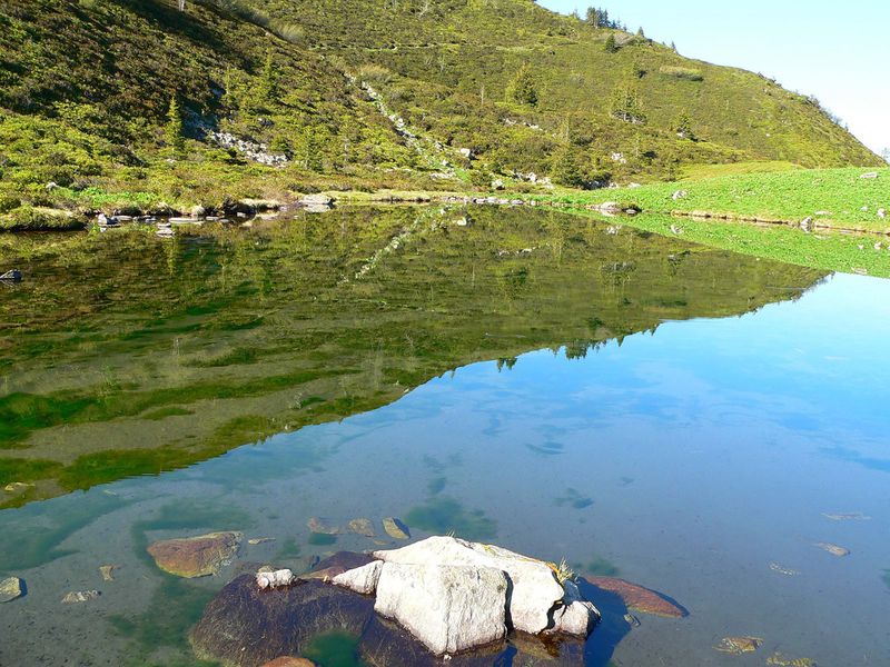
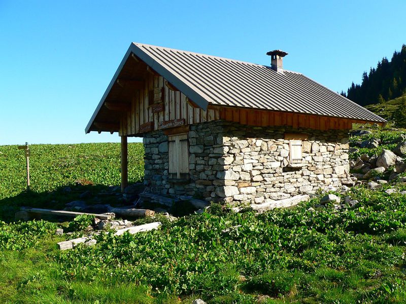
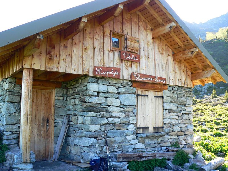
Le Gleyzin - Lake Léat
Add to my favorites


Discover the small Lac du Léat and its chalet on a pleasant hike through varied scenery typical of the Belledonne region, including mountain pastures and forests.
Route labeled FFRandonnée

The characteristics of the route.

Le Haut-Bréda (38)
- Distance 10.7 km
- Elevation gain 920 m
- Elevation lost 920 m
- Min. elevation 1082 m
- Max. elevation. 1898 m
- Duration (depending on pace) 5h
- Marking Yes
Equipments : Car park, Admission fee : Free of charge.Opening : All year round.
Subject to favorable weather.
Area : Grésivaudan
Report a problem Add a comment
Website Pdf file Features of the application :
- Location and orientation on detailed maps thanks to the GPS of your smartphone
- Description of routes and points of interest on the route
- Photo gallery by route
- Detailed elevation profile
- Route tracking alert to warn you if you stray from the route
- Send predefined messages by SMS to your contacts
- Emergency module: trigger a call or send an emergency SMS in case of problem
- Agenda: access to events organized in the department
- News: find in the application the latest news on the web portal
- Adding achievements
- Add reports in case of problems encountered on the routes
- Share on social networks
Add your time and share your feelings
Services nearby

Espace Naturel Sensible de la forêt du Bout et Combe Grasse
Le Haut-Bréda

Refuge de l'Oule
Le Haut-Bréda

Forges et Moulins de Pinsot
Le Haut-Bréda
Crêt du Poulet refuge
Crêts en Belledonne
La Pierre du Carre Refuge
Le Collet


Information updated on 2024-03-29 by Isère Attractivité


Follow us on
the digital trails
the digital trails


![]()
The Isère Outdoor application was created
by the Département de l'Isère
Infos & contact
Conseil départemental de l'Isère
7 rue Fantin Latour
CS 41096
38 022 Grenoble cedex 1
Tel. 04 76 00 38 38


OK
Annuler