Bel'Vélec - Les Adrets - Hurtières
Add to my favorites


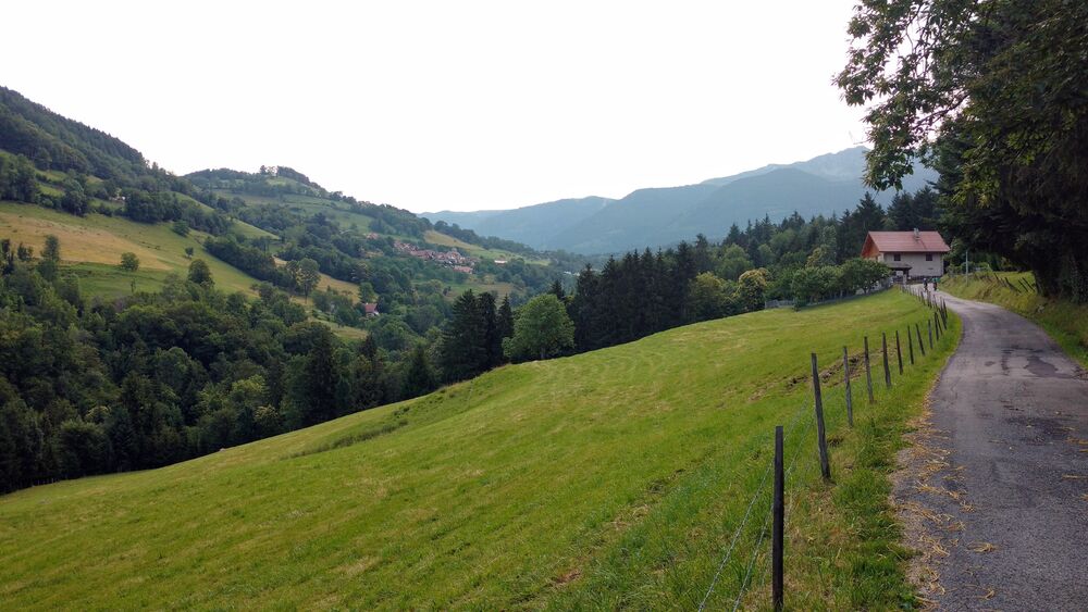
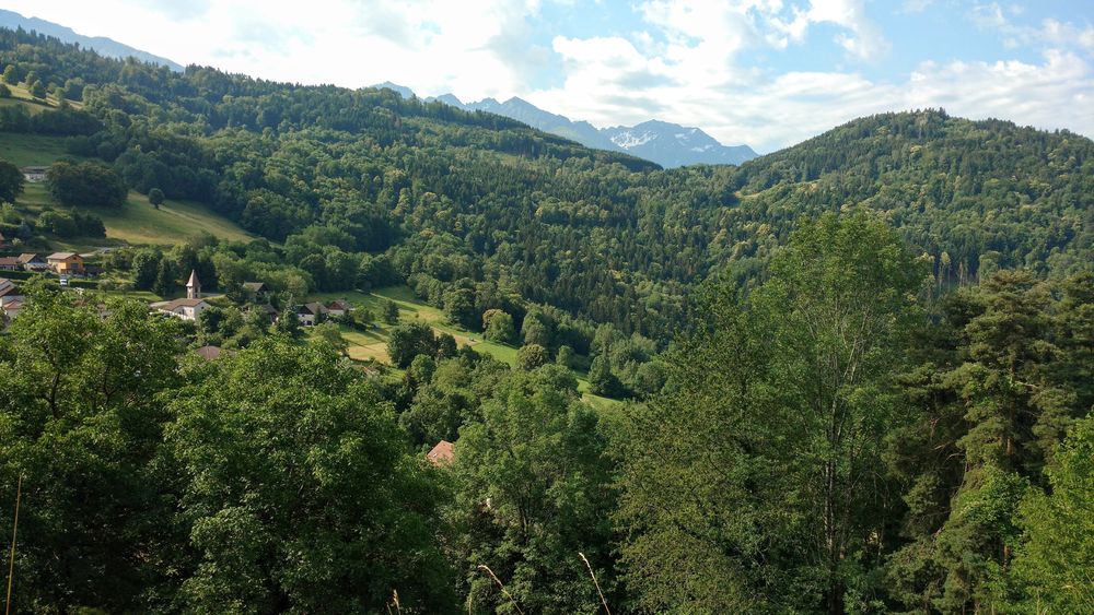
Route no. 40: This loop has it all. History, great climbs and descents that are fun but not too difficult, cool streams, picture-postcard scenery, pretty hamlets and plenty of places to eat.
The characteristics of the route.

Les Adrets (38)
- Distance 13.9 km
- Elevation gain 580 m
- Elevation lost 580 m
- Min. elevation 534 m
- Max. elevation. 917 m
- Marking Yes
Admission fee : Free of charge.Opening : All year round.
Area : Grésivaudan
Report a problem Add a comment
Website Plan général Bel'velec - 8 itinéraires Bel'Velec carte itinéraire n°40 Pdf file Features of the application :
- Location and orientation on detailed maps thanks to the GPS of your smartphone
- Description of routes and points of interest on the route
- Photo gallery by route
- Detailed elevation profile
- Route tracking alert to warn you if you stray from the route
- Send predefined messages by SMS to your contacts
- Emergency module: trigger a call or send an emergency SMS in case of problem
- Agenda: access to events organized in the department
- News: find in the application the latest news on the web portal
- Adding achievements
- Add reports in case of problems encountered on the routes
- Share on social networks
Add your time and share your feelings
Services nearby

Bureau d'Information Touristique de Prapoutel / Les 7 Laux - Office de Tourisme Belledonne Chartreuse
Les Sept Laux Prapoutel

Espace naturel sensible du Marais de Montfort
Crolles

Refuge le Habert d'Aiguebelle
Laval

La Combe de Lancey Museum
La Combe-de-Lancey
Bureau d'Information Touristique du Pleynet / Les 7 Laux - Office de Tourisme Belledonne Chartreuse
Les Sept Laux Le Pleynet


Information updated on 2024-03-01 by Office de Tourisme de Belledonne Chartreuse


Follow us on
the digital trails
the digital trails


![]()
The Isère Outdoor application was created
by the Département de l'Isère
Infos & contact
Conseil départemental de l'Isère
7 rue Fantin Latour
CS 41096
38 022 Grenoble cedex 1
Tel. 04 76 00 38 38


OK
Annuler