Le Faz ascent
Add to my favorites


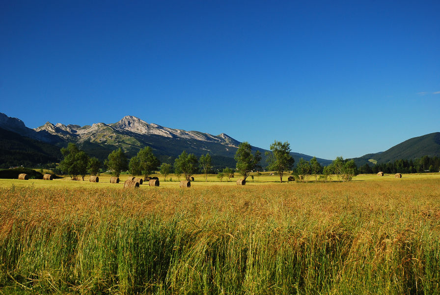
The ascent on the western side of the Vercors is quieter than the routes winding up the heart of the massif. Le Faz ascents takes the D31 and passes through the hamlets of Saint-Pierre de Chérennes.
The characteristics of the route.

Saint-Pierre-de-Chérennes (38)
- Distance 10.2 km
- Elevation gain 810 m
- Elevation lost 20 m
- Min. elevation 206 m
- Max. elevation. 1012 m
- Marking Yes
Start near the crossroads of the RD1532 and RD31.
Follow the RD31 until you reach Le Faz hamlet.Marking : Green and white signs for "Montée du Faz".Admission fee : Free access.Opening : From 01/05 to 31/10. Subject to favorable weather.
Follow the RD31 until you reach Le Faz hamlet.Marking : Green and white signs for "Montée du Faz".Admission fee : Free access.Opening : From 01/05 to 31/10. Subject to favorable weather.
Area : Saint-Marcellin Vercors Isère
Report a problem Add a comment
Website Features of the application :
- Location and orientation on detailed maps thanks to the GPS of your smartphone
- Description of routes and points of interest on the route
- Photo gallery by route
- Detailed elevation profile
- Route tracking alert to warn you if you stray from the route
- Send predefined messages by SMS to your contacts
- Emergency module: trigger a call or send an emergency SMS in case of problem
- Agenda: access to events organized in the department
- News: find in the application the latest news on the web portal
- Adding achievements
- Add reports in case of problems encountered on the routes
- Share on social networks
Add your time and share your feelings
Services nearby

Le Couvent des Carmes
Beauvoir-en-Royans

Bureau d'Information touristique de Saint-Marcellin
Saint-Marcellin

Foyer de ski de fond de Presles
Presles
Le Musée de l'eau
Pont-en-Royans
Bureau d'information touristique de Pont-en-Royans
Pont-en-Royans


Information updated on 2022-07-04 by Office de Tourisme de Saint-Marcellin Vercors Isère


Follow us on
the digital trails
the digital trails


![]()
The Isère Outdoor application was created
by the Département de l'Isère
Infos & contact
Conseil départemental de l'Isère
7 rue Fantin Latour
CS 41096
38 022 Grenoble cedex 1
Tel. 04 76 00 38 38


OK
Annuler