N°71 : Tour de la Cheminée du Lorzier
Add to my favorites

Caution! Zone of vigilance near the route
Faucon pèlerin - du 01/02/2024 au 30/06/2024 In progress
Faucon pèlerin - du 01/02/2024 au 30/06/2024 In progress
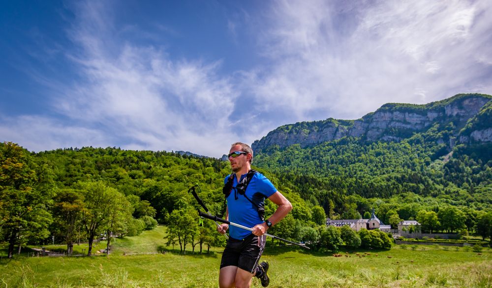
Au départ du Monastère de Chalais, parcours permettant de découvrir le secteur d'Hurtières et des Banettes à travers un parcours technique et alpin, destiné à des trailers aguerris.
Circuit impraticable en cas d’enneigement.
The characteristics of the route.

Mont-Saint-Martin (38)
- Distance 16.1 km
- Elevation gain 1100 m
- Elevation lost 1100 m
- Min. elevation 846 m
- Max. elevation. 1776 m
- Marking Yes
Equipments : Parking, Admission fee : Free access.Opening : All year round.
Area : Pays Voironnais
Report a problem Add a comment
Website Parcours trail n°71 : Tour de la Cheminée du Lorzier - Roadbook Pdf file Features of the application :
- Location and orientation on detailed maps thanks to the GPS of your smartphone
- Description of routes and points of interest on the route
- Photo gallery by route
- Detailed elevation profile
- Route tracking alert to warn you if you stray from the route
- Send predefined messages by SMS to your contacts
- Emergency module: trigger a call or send an emergency SMS in case of problem
- Agenda: access to events organized in the department
- News: find in the application the latest news on the web portal
- Adding achievements
- Add reports in case of problems encountered on the routes
- Share on social networks
Add your time and share your feelings
Services nearby

Foyer de ski de fond du Col de Porte
Sarcenas

Sappey-en-Chartreuse Tourist Information Center
Le Sappey-en-Chartreuse
Foyer de ski de fond du Sappey
Le Sappey-en-Chartreuse
Sassenage Tourist Information Center
Sassenage
Pays Voironnais Tourist Office, Voiron information office
Voiron


Information updated on 2023-07-19 by Office de Tourisme du Pays Voironnais


Follow us on
the digital trails
the digital trails


![]()
The Isère Outdoor application was created
by the Département de l'Isère
Infos & contact
Conseil départemental de l'Isère
7 rue Fantin Latour
CS 41096
38 022 Grenoble cedex 1
Tel. 04 76 00 38 38


OK
Annuler