
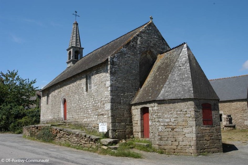
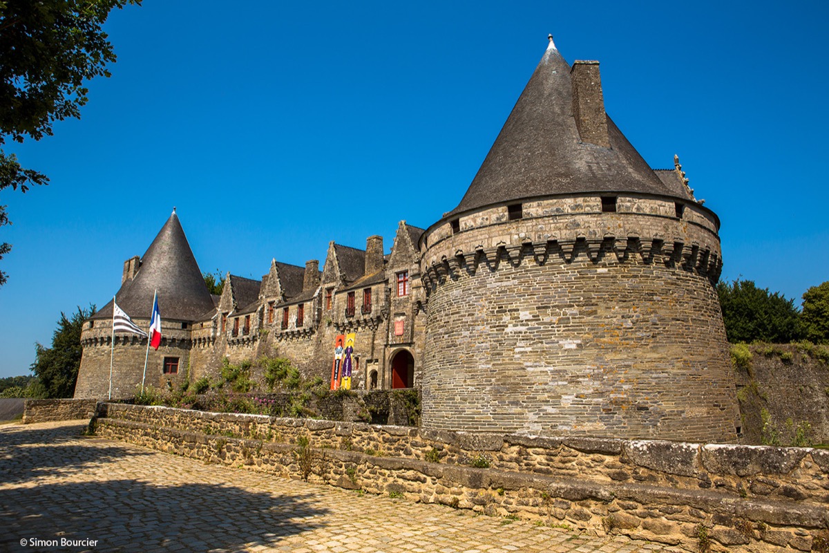
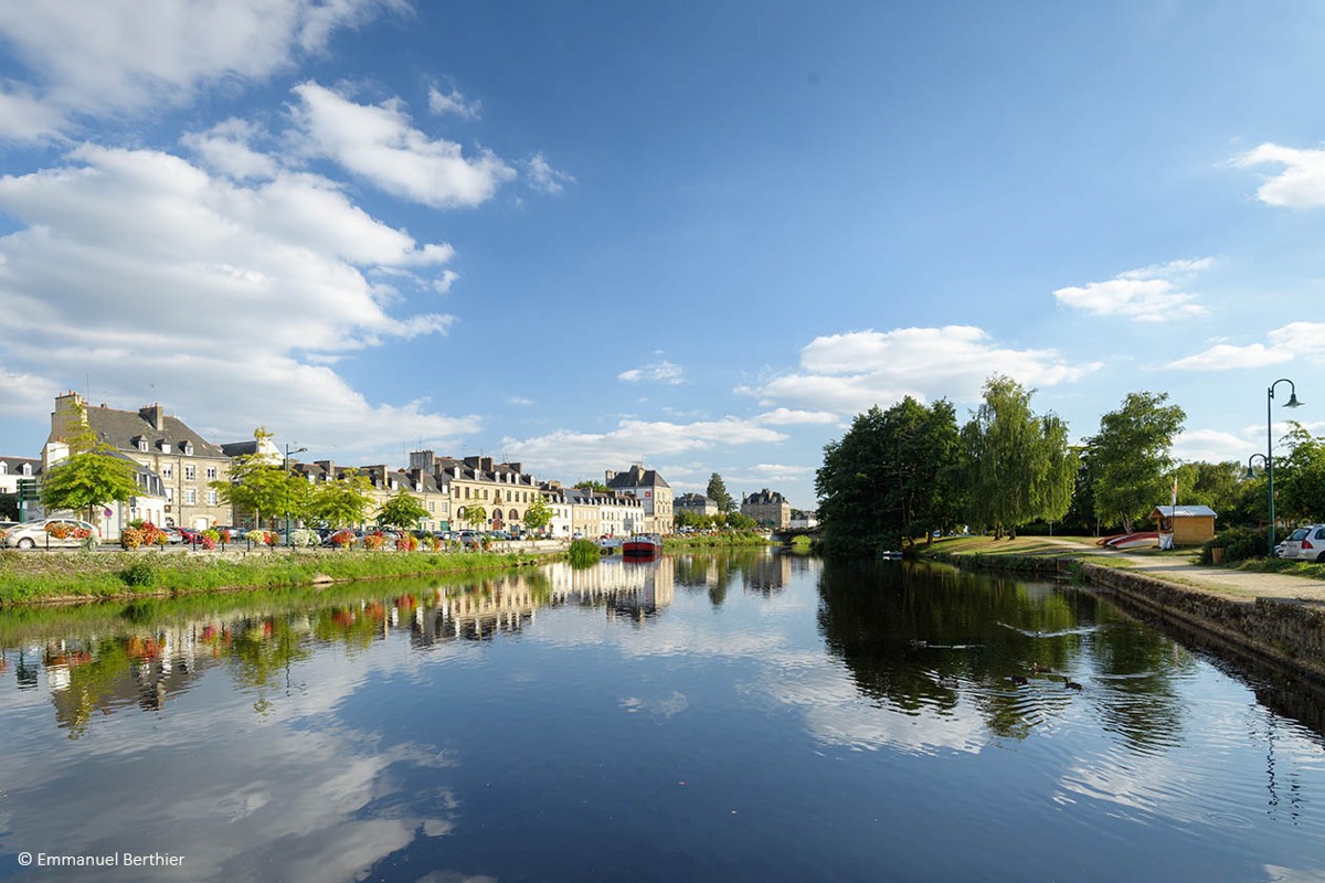
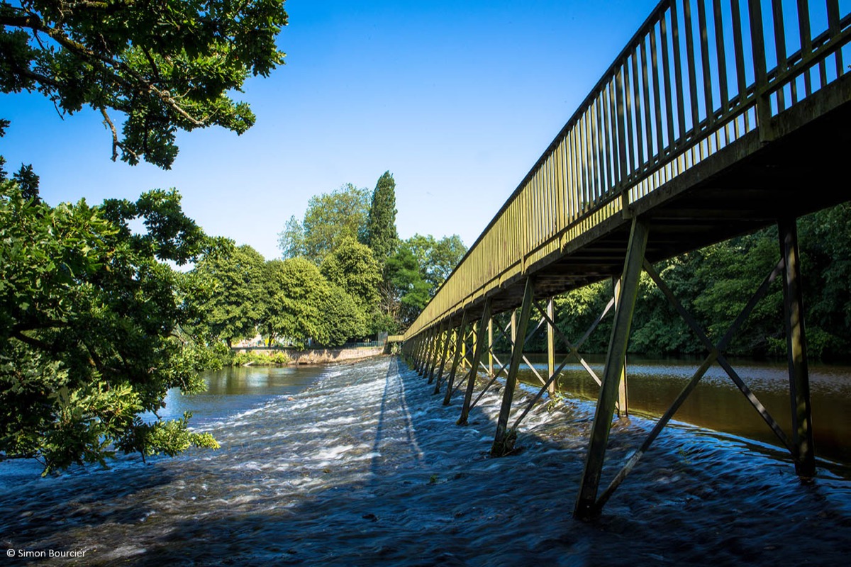
Starting from Pontivy tourist office, this urban trail itinerary will take you along the canal from Nantes to Brest to the entrance of the village of Stival. You will then go back up to the village of Kermarec and continue on paths and tracks to go down into the Petit Resto valley. You will come back to the heart of the city by the Coulée Verte and follow the Blavet river to return to your starting point, in the heart of the city.
Warning : Itinerary open from March 1st to September 15th. Closed during the hunting season.

- Distance 13.3 km
- Elevation gain 170 m
- Elevation lost 170 m
- Min. elevation 53 m
- Max. elevation. 128 m
- Duration (depending on pace) 1h10 à 2h30
- Marking Trail-running n°60 green (soon)

Available this summer, the application Coeur de Bretagne will allow you to find all the trail running and hiking trails on your smartphone.
You will find many features in this application:
- locate yourself the route
- download data for offline access
- take advantage of detailed IGN maps
- add your chrono on the route
- find the services nearby...


the digital trails


![]()
Infos & contact
Destination Coeur de Bretagne - Kalon Breizh
6 rue Joseph Pennec
22110 Rostrenen
Tel. +33(0)2 96 29 26 53

