Show the map
Borc Trail 2020 - Easy Borc
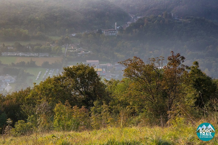


 Polcenigo (IT)
A cross between history and nature, water and mountains: the BORC TRAIL.
The routes start from Polcenigo (selected among the most beautiful hamlets in Italy), cross the water of the Gorgazzo and disperse among the autumn colors of the Pordenone mountains that invite us to unique landscapes.
The Borc Trail was born as an event that aims to promote trail running, the territory and, in particular, nature. Routes designed to involve the most demanding athletes but also those who appreciate the mountains only for occasional walks.
An unforgettable experience to live together.
We are waiting for you!
Points of Interest table
| Accum. | Intermediary | |||||||
|---|---|---|---|---|---|---|---|---|
| POI | Description | Alt. | Dist. | D+ | D- | Dist. | D+ | D- |
 Competition organized on 10/11/2020
Trace n°101972
Ascent threshold : 3 m Distance threshold : 30 m Smoothing : Yes Origin of altitudes : MNT Aster GDEM
Ascent threshold : 3 m Distance threshold : 30 m Smoothing : Yes Origin of altitudes : MNT Aster GDEM
Loop
Dominant terrain : Path
Max alti. : 212 m
Avg alti. : 91 m
Min alti. : 36 m
Longest ascent : 160 m
Longest descent : 100 m
Dominant terrain : Path
Max alti. : 212 m
Avg alti. : 91 m
Min alti. : 36 m
Longest ascent : 160 m
Longest descent : 100 m
Elevation profile
More tools
Create a new roadbook page
Map and track on your website
Warning ! When you insert a Trace de Trail map on your website, you agree not to hide any element of the module (links to Trail Trail or Trail Connect banner)
Add a realisation
Validate
Add a realisation to share your chrono and describe the conditions that you encountered during you trail running !
Add a comment
Validate
Admin - Trace de Trail
08/11/19, 22:08:38
Bonjour, Merci de classer votre trace en compétition avant de la placer en public.
08/11/19, 22:08:38
Bonjour, Merci de classer votre trace en compétition avant de la placer en public.
Show the infos
Add a track


