Route 16 red - Puy de Niermont - Le Ché - Albepierre
Add to my favorites

Routes will be equiped with marqued signs on spring 2019
Route closed
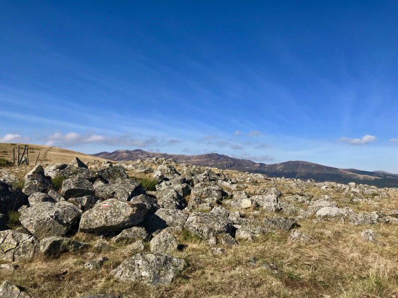
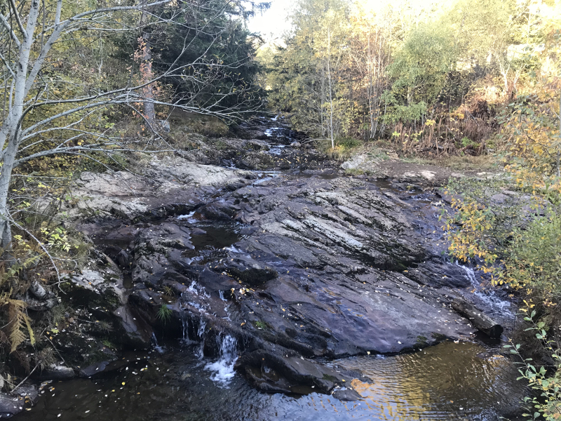
Discover the mountain pastures of the region with this itinerary starting from the Col de Prat de Bouc. A loop without technical difficulties.
The characteristics of the route.
Prat-de-Bouc (15)
- Distance 19.2 km
- Elevation gain 630 m
- Elevation lost 630 m
- Min. elevation 1123 m
- Max. elevation. 1490 m
- Duration (depending on pace) 2h à 4h
- Marking n°16 red
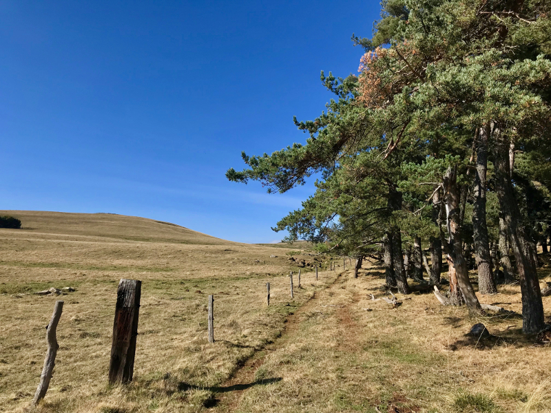
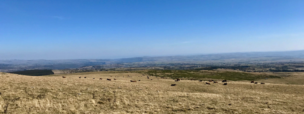
After a passage in the forest you will evolve in the middle of pastures with a clear view on the Plomb of Cantal and other summits of the area. Given that this course is very exposed to the sun, it will be necessary to be well equipped to take full advantage of this magnificent course.
Area : Prat de Bouc
Report a problem Add a comment
Pdf map Roadbook - Parcours 16 Cyril15
finished in 02:09:45
The 2019/05/13
En savoir plus
Ajouter votre chrono et partager vos sensations
2019/05/13 02:09:45
Cyril15
Cyril15
2019/05/13 02:09:45
Cyril15
Cyril15
Services nearby
Intersport Prat de Bouc
Prat-de-Bouc
Stopover-gite of Prat de Bouc
Prat-de-Bouc
Gite les Myrtilles
Albepierre-Bredons
Hourlier Marianne and Sébastien
Albepierre-Bredons
Hourlier Marianne and Sébastien
Albepierre-Bredons


Contact Carladès area
Carladès Tourist Office
Avenue A. Mercier
15800 Vic-sur-Cère
Tel. 04.71.47.50.68
Carladès Tourisme
tourisme@carlades.fr
![]()
Contact Hautes Terres area
Hautes Terres Tourist Office
Pl. Hôtel de ville - 15300 Murat
Tel. 04.71.20.09.47
Hautes Terres Tourisme
contact@hautesterrestourisme.fr
@hautesterrestourisme
@hautesterrestourisme


OK
Annuler